Big trails route (GR)

In Osona there are 5 big trails routes (BR). The signs are common throughout Europe: two strips of paint indicate that we are on a good track; “X” cut off road or wrong road, four strips is change of direction. In the big trails routes signals are white and red.
The BR, which go through Osona are:
Long-distance trail that gets on the trail at Algpens and it takes us toLluçà.
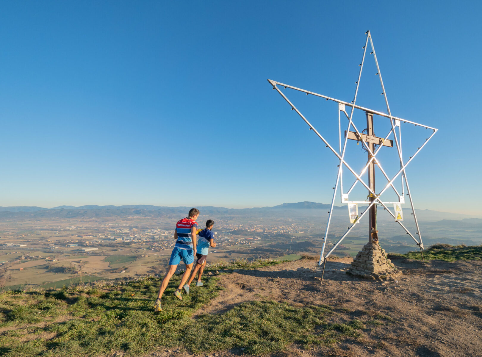
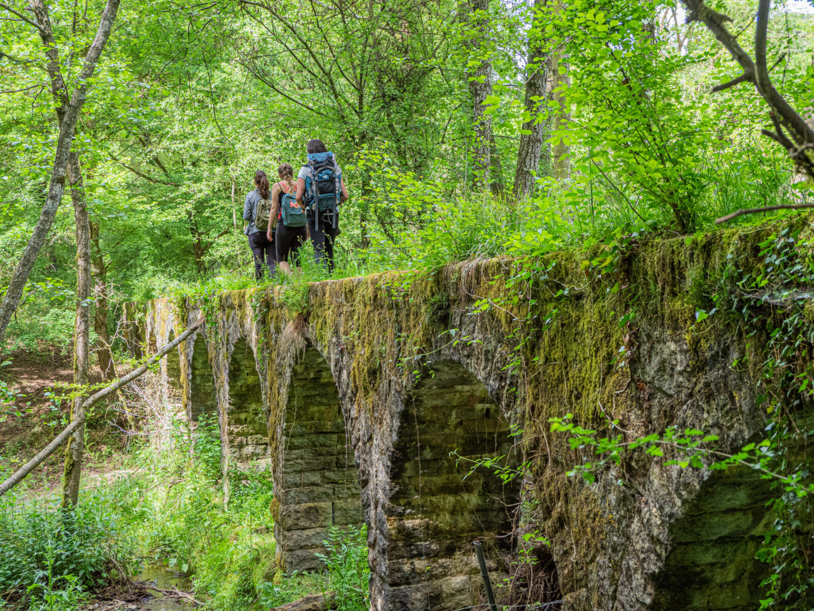
 This section of the path GR 2 three hours of duration invites us to get to know a part of Guilleries and enjoy spectacular views from the top of the cliffs of Munts. We should keep in mind that there is no spring water between Vilanova de Sau and Sant Julia de Vilatorta, but in Vilanova as well as in Sant Julià we can find all services. Path directed by the Hiking Center of Taradell.

Strating point: Vilanova de Sau, Major Square.
Distance: 12’230 Km
Time: 3 h 07 min.
Overall rise: 733 metres
Description of the route:
00 min. Vilanova de Sau, Main Square (spring water). The trail continues along the street Guilleries. Just before reaching the road Vic, (signpost), we take a descending path on the right.
08 min. Road N141 (Vic – Sant Romà de Sau). We’ll cross it. The route continues along a trail going up. We leave a dirt road on the right and in few meters another on the right.
25 min. Road fork. We’ll continue along a path on the right, which goes up steeply towards the cliffs. During the steep ascent, we’ll leave the turnoff on our right. The last piece of the ascent is of sharp zig zags.
53 min. Vilanova cliffs (789 m). Arriving at the top of the cliffs there is a track which we’ll follow on the left.
1h 01 min. Road fork. We leave the track to continue along a path in a esplanade with grass. We’ll enjoy magnificent views.
1h 04 min. Road fork. We take track we had left earlier again.
1h 12 min. Road Fork. We follow the trail on the left, continue along the main trail until reaching a hill. We’ll continue along the ridge with excellent panoramic views of Guielleries. Then we start going down.
1h 26 min. Road fork (signpost) (810 m). Point of confluence with the PR C-40.1. The trail begins to go up. We follow the main track.
1h 39 min. Road fork. On our right there are antennas of telecommunication and two houses, we pass wires and later a chain.
1h 42 min. Road fork. On the left, we see a path leading to the waterfall Minyona, viewpoint of Verge dels Munts. To reach the viewpoint from the track we just have to walk a hundred meters. Returning from the viewpoint, we continue along the track going down.
1h 48 min. Road fork. We take a path on the left and go through the tunnel of the road of Vic to Sant Romà de Sau. We turn on the left and go down stony ground of red rock.
1h 57 min.Road fork. We get on a track and follow on the right.
2h 00 min. Road crossing. We reach a crossroads and continue straight along the main track.
2h 10 min. Road fork. We leave a path leading to Folgueroles on the right.
2h 17 min.Road fork. (760 m). We leave the trail that goes up to the Monastery of Sant Llorenç del Munt and we go on the right by a flat path through a meadow. On the left, we see a small pond on the hill. Then go on the left and follow a path with a steep ascent.
2h 23 min. Esplanade. Here are several paths and a track. We’ll continue on the right by the track. Further down, we leave a path on the left and a path on the right. Shortly after, we leave two trails almost together on the left. We follow the main track.
2h 44 min. Road fork. We leave the track to continue along a path that leaves from the right side. Shortly after we start down that path it goes down on the left and is very stony.
2h 49 min.Bifurcació. We go out on a track and take it on the right.
2h 52 min.Crossing. We are in Can Puigsec (640 m). We go in the southwest direction and pass between two buildings which are farms.
2h 57 min. Road fork. We’ll continue along the main track, leave the track of Can Puigsec, with cypress trees near it, on the right. And we continue down and pass near “Teularia” i Can Pi.
3h 02 min.Sant Julia de Vilatorta. We enter by the street Mercè and in few meters we turn on the left to go up a path. We continue straight and take the third street on the right (street of N’anna Xica). We walk in front of the nursery and turn on the right (Montseny Street). A few meters later, we take the first road on the left and cross the road BV 5201 of Vic to Sant Sadurní d’Ososmort. We walk few meters by the road BV 5202 in front of us, from Sant Julia de Vilatorta to Vilalleons, and take the first street on the right, which leads to the Seven Springs of Sant Julià.
3h 07 min. Seven Springs of Sant Julià de Vilatorta.
GR 2 SECTION SANT JULIA DE VILATORTA / SEVA
Track: Download
More information:https://senders.feec.cat/etapa/gr-2-1/


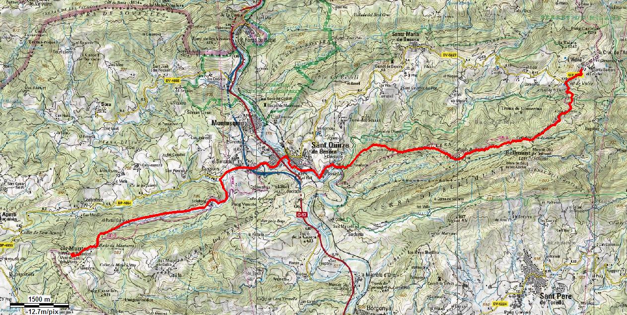
 Strating point: Vidrà. We start from the Rectoria square.
Distance: 17’664 Km
Time: 4h 21 min.
Overall rise: 715 m
 Description of the route
0 km 0 h. Vidrà 994 m.
We leave the square of Rectory located at the entrance to the village on the left below the church. We’ll take BV 5227 road in the direction of Vidrà for 0’800 km up till arriving at the Hill of Vidrà where we leave this road.
0’800 km 0.10 h. Vidrà Hill 1014 m.
We leave the road next to a large manor house and start going up gently by a track in good condition that will make us cross several times through beech areas splendidly beautiful in autumn.
3’157 km 0’48 h. Hill of d’Hi-era-massa 1115 m.
We leave the trail that rises to the Sanctuary of Bellmunt and start going down through a beautiful beech forest to St. Quirze de Besora.
5’062 km 1,20 h. Hill of Bosquetell 980 m.
We come next to the abandoned house of Bosquetell. We’ll continue to follow in the same direction we had to cross a meadow which will lead us to a small hidden path among trees.
8’723 km 2’11 h. Mill of Foradada 580 m.
We pass near the mill of Foradada before crossing the bridge over the stream of Foradada.
10’506 km 2’40 h. St. Quirze de Besora, bridge over the Ter 579 m.
We’ll cross the bridge over the River Ter and continue until crossing C-17 Z road (former N-152). We continue in the direction of Berga by the road for almost 2 km. From approx. 300m before the bridge we will not find any other signs of GR except for a signpost shortly after crossing the old national road following the road of Berga. We find the road signs again when we leave the road of Berga at the beginning of the track of Colldecamps.
12’395 km 3’07 h. Colldecamps track 1080 m.
We leave the road of Berga and take a paved track which appeares on the left and leads near to the house of Solallong. Here we find the signs again.
13’620 km 3’30 h. Solallong 1150 m.
We reach the first farm houses of Solallong and take a dirt track on the right that leads us behind the farms.
17’664 km 4’21 h. Sanctuari of Munts 1059 m.
We arrive at the sanctuari of Munts.
More information: https://senders.feec.cat/etapa/gr-3-etapa-1/
 Starting point: Santuary of Els Munts.
Distance: 21,950 Km.
Time: 5h 39 min.
Overall rise: 894 m.
 0 km 0 h. Sanctuari of Munts 1059 m.
We leave the Santuari of Munts by the paved road in the western direction.
0’495 km 0.05 h. Link PR-C46 1,028 m.
We leave the paved road of Munts to take a dirt track on the left. During a stretch we’ll follow the link of PR-C46.
3’250 km 0’53 h. Chapel of St. Roc 860 m.
Hidden in the middle of the forest on our left we find the chapel of St. Roc.
5’400 km 1’28 h. The New House of Vilamoura 887 m.
We pass near the new home of Vilamoura.
6’100 km 1’35 h. Road BV-4608 876 m.
We cross the road BV-4608 which leads to the village of Sant Boi de Lluçanès.
8’200 km 2’08 h. Chapel of Santa Llúcia de Sobremunt 932 m.
Arrive at the chapel of Santa Llúcia de Sobremunt.
11’800 km 3’00 h. Chapel of St. Martí Xic 820 m.
We arrive at the chapel of St. Martí Xic from where we have a privileged view on the plain of Vic, and Pedraforca and Cadí mountain range. Link PR-C 49.
14’350 km 3’25 h. Puig pelat 585 m.
We pass near the house of Puig Pelat.
15’400 km 3’40 h. Stream of Sorreig 558 m.
We cross the stream of Sorreig to go up the track on the left till the church of Santa Perpètua.
18’800 km 4’30 h. Church of Santa Perpètua 766 m.
If we deviate 50m we’ll reach the church of Santa Perpetua from where you can see the face of the Castle of Voltregà and St. Martí Xic.
20’800 km 5’15 h. Spring Well of Vicar 816 m.
We came to a small clearing with a pond where we find the spring well of Vicar.
21’950 km 5’39 h. Sant Bartomeu de Grau 893 m.
We arrived at the village of Sant Bartomeu del Grau at 200 meters from the football field where we find the indicator of the continuation of GR 3 from Sant Bartomeu de Grau to the Pond.
More information: https://senders.feec.cat/etapa/gr-3-etapa-1/
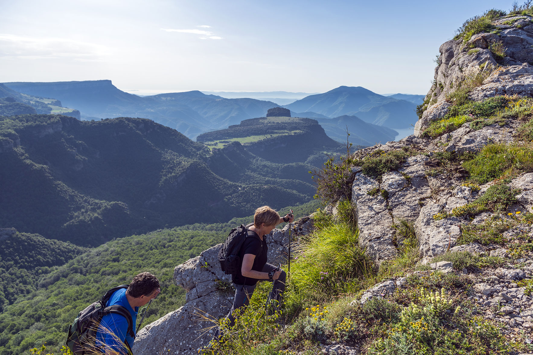
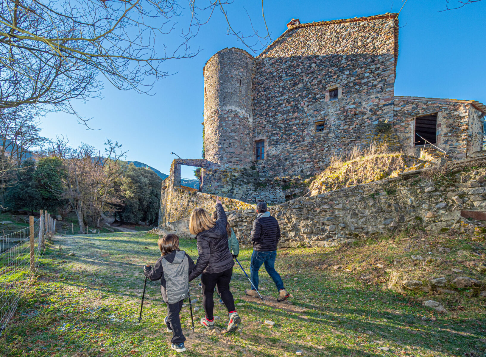
The Oliba trial belongs to the GR (Gran ruta) network and connects some of the best examples of Catalan Romanesque art via the GR-151. It goes from Montserrat to the Pyrenees and passes through historic towns and villages of what is known as Ancient Catalunya such as Manresa, Ripoll, Vic and Sant Joan de les Abadesses. It winds its way through the inland plains and foothills and landscapes of the counties of the Bages, Osona and the Ripollès. It is relatively easy walking and has the added value of never being very far from food and accomodation services.
The Oliba trial is a museum in the middle of Nature. It is art, culture and history in essence and goes through almost unaltered countryside for much of its length. It is a walk through the origins of Catalunya, when people such as Oliba (both Abbot and Bishop) decided to repopulate and christianize these lands by building churches and monasteries. Today, hikers and explorers retrace the steps of our ancestors by walking its more than 200 kms, which can be done following the path both North to South or South to North, as we recommend, either in one long hike, in stretches of a few days or equally, or in stages of one-day’ walks from time to time. Whether done on foot or by bike, the path enhances the understanding and appreciation of Romanesque works of art and architecture by unveiling the treasures step by step.
The ‘Trial of the Bishop and Abbot Oliba’ is a long distance footpath that takes you through areas of Romanesque influence showing you the wonders of this style of architecture and connecting you to other related footpaths.
Get to know the Romanesque trail that joins the counties of El Bages, Moianès, Osona and Ripollès.
Short description about the stretches:
GR 151 MONTSERRAT – VIC
Distance: 86,03 km
Lenght: 21 hours and 30 minutes
Total: 5 stretches in 3 journeys
- 1st journey, from the Montserrat Monastery to Navarcles, (without getting in Manresa: 32,8 km – 8,2 hours) (getting in Manresa: 35,1 km – 8,7 hours).
- Stretch 1: Montserrat Monastery- Manresa (24,1 km – 6 hours)
- Stretch2: Manresa – Navarcles (11 km – 2,7 hours)
- 2nd journey, from Navarcles to L’Estany (32,5 km – 8,1hours)
- Stretch3: Navarcles – Artés (9,3 km – 2,3hours)
- Stretch4: Artés – L’Estany (23,2 km – 5,8hours)
- 3rdjourney, from l’Estany to Vic (20,47 km – 5,1hours)
- Stretch5: L’Estany – Vic (20,47 km – 5,1hours)
The Oliba trial belongs to the GR (Gran ruta) network and connects some of the best examples of Catalan Romanesque art via the GR-151. It goes from Montserrat to the Pyrenees and passes through historic towns and villages of what is known as Ancient Catalunya such as Manresa, Ripoll, Vic and Sant Joan de les Abadesses. It winds its way through the inland plains and foothills and landscapes of the counties of the Bages, Osona and the Ripollès. It is relatively easy walking and has the added value of never being very far from food and accomodation services.
The Oliba trial is a museum in the middle of Nature. It is art, culture and history in essence and goes through almost unaltered countryside for much of its length. It is a walk through the origins of Catalunya, when people such as Oliba (both Abbot and Bishop) decided to repopulate and christianize these lands by building churches and monasteries. Today, hikers and explorers retrace the steps of our ancestors by walking its more than 200 kms, which can be done following the path both North to South or South to North, as we recommend, either in one long hike, in stretches of a few days or equally, or in stages of one-day’ walks from time to time. Whether done on foot or by bike, the path enhances the understanding and appreciation of Romanesque works of art and architecture by unveiling the treasures step by step.
The ‘Trial of the Bishop and Abbot Oliba’ is a long distance footpath that takes you through areas of Romanesque influence showing you the wonders of this style of architecture and connecting you to other related footpaths.
Get to know the Romanesque trail that joins the counties of El Bages, Moianès, Osona and Ripollès.
Journeys: 6
km: 116
Timet: 29 hours
Overall rise: +2925 m / -2650 m
- 1st Journey, from Vic to Folgueroles (10,7 km – 2 hours 45 minutes)
- Stretch: Vic – Folgueroles (10,7 km – 2hours45 minutes)
- 2ndJourney, from Folgueroles to Vilanova de Sau
- Stretch: Folgueroles – Monestir de Sant Pere de Casserres (11,5 km – 3hours)
- Stretch: Monestir de Sant Pere de Casserres – Vilanova de Sau (9,4 km – 2hours20 minutes)
- 3rdJourney, from Vilanova de Sau to L’Esquirol
- Stretch: Vilanova de Sau – Tavertet (10 km – 2hours30 minutes)
- Stretch: Tavertet – L’Esquirol (16,3 km – 4hours)
- 4thJourney, from L’Esquirol to Santa Maria de Besora
- Stretch: L’Esquirol – Sant Pere de Torelló (11,3 km – 2hours50 minuets)
- Stretch: Sant Pere de Torelló – Santa Maria de Besora (11,7 km – 2hours50 minutes)
- 5thJourney, from Santa Maria de Besora to Ripoll
- Stretch: Santa Maria de Besora – La Farga de Bebié (8,4 km – 2hours)
- Stretch: La Farga de Bebié – Ripoll (16,8 km – 4hours10 minutes)
- 6thJourney, from Ripoll to Sant Joan de les Abadesses
- Stretch: Ripoll – Sant Joan de les Abadesses (9,8 km – 2hours30 minutes)
- More information:http://www.camioliba.cat/
The Oliba trial belongs to the GR (Gran ruta) network and connects some of the best examples of Catalan Romanesque art via the GR-151. It goes from Montserrat to the Pyrenees and passes through historic towns and villages of what is known as Ancient Catalunya such as Manresa, Ripoll, Vic and Sant Joan de les Abadesses. It winds its way through the inland plains and foothills and landscapes of the counties of the Bages, Osona and the Ripollès. It is relatively easy walking and has the added value of never being very far from food and accomodation services.
The Oliba trial is a museum in the middle of Nature. It is art, culture and history in essence and goes through almost unaltered countryside for much of its length. It is a walk through the origins of Catalunya, when people such as Oliba (both Abbot and Bishop) decided to repopulate and christianize these lands by building churches and monasteries. Today, hikers and explorers retrace the steps of our ancestors by walking its more than 200 kms, which can be done following the path both North to South or South to North, as we recommend, either in one long hike, in stretches of a few days or equally, or in stages of one-day’ walks from time to time. Whether done on foot or by bike, the path enhances the understanding and appreciation of Romanesque works of art and architecture by unveiling the treasures step by step.
The ‘Trial of the Bishop and Abbot Oliba’ is a long distance footpath that takes you through areas of Romanesque influence showing you the wonders of this style of architecture and connecting you to other related footpaths.
Get to know the Romanesque trail that joins the counties of El Bages, Moianès, Osona and Ripollès.
Journeys: 3
km: 54,40 km
Time: 13 hours and 25 minutes
Overall rise: +1870 m / -1970 m
- 1st Journey, from Tavertet to Rupit
- Stretch: Tavertet – Rupit (7,8 km – 2 hours)
- 2ndJourney, from Rupit to Vidrà
- Stretch: Rupit – Coll de Bracons (18 km – 4 hours 25 minutes)
- Stretch: Coll de Bracons – Vidrà (10,3 km – 2 hours 30 minutes)
- 3rdJourney, from Vidrà to Sant Joan de les Abadesses
- Stretch: Vidrà – Vallfogona de Ripollès (12,1 km – 3 hours)
- Stretch: Vallfogona de Ripollès – Sant Joan de les Abadesses (6,2 km – 1 hour and 30 minutes)
- More information: http://www.camioliba.cat/
The Oliba trial belongs to the GR (Gran ruta) network and connects some of the best examples of Catalan Romanesque art via the GR-151. It goes from Montserrat to the Pyrenees and passes through historic towns and villages of what is known as Ancient Catalunya such as Manresa, Ripoll, Vic and Sant Joan de les Abadesses. It winds its way through the inland plains and foothills and landscapes of the counties of the Bages, Osona and the Ripollès. It is relatively easy walking and has the added value of never being very far from food and accomodation services.
The Oliba trial is a museum in the middle of Nature. It is art, culture and history in essence and goes through almost unaltered countryside for much of its length. It is a walk through the origins of Catalunya, when people such as Oliba (both Abbot and Bishop) decided to repopulate and christianize these lands by building churches and monasteries. Today, hikers and explorers retrace the steps of our ancestors by walking its more than 200 kms, which can be done following the path both North to South or South to North, as we recommend, either in one long hike, in stretches of a few days or equally, or in stages of one-day’ walks from time to time. Whether done on foot or by bike, the path enhances the understanding and appreciation of Romanesque works of art and architecture by unveiling the treasures step by step.
The ‘Trial of the Bishop and Abbot Oliba’ is a long distance footpath that takes you through areas of Romanesque influence showing you the wonders of this style of architecture and connecting you to other related footpaths.
Get to know the Romanesque trail that joins the counties of El Bages, Moianès, Osona and Ripollès.
Stretch from Sant Joan de les Abadesses to Les Basses de Puig Sec
Distance: 39,56 km
Duration: 9 hours and 53 minutes
Total: 3 stretches in 2 journeys
- 1st Journey, from Sant Joan de les Abadesses to Camprodon (18,46 km – 4,6 hours)
- Stretch 1: Sant Joan de les Abadesses – Camprodon (18,46 km – 4,6 hours)
- 2a Journey, de Camprodon a Molló (21,04 km – 5,2 hours)
- Stretch 2: Camprodon – Molló (10,87 km – 2,7 hours)
- Stretch 3: Molló – Les Basses de Puig Sec (10,17 km – 2,5 hours)
- More information: http://www.camioliba.cat/
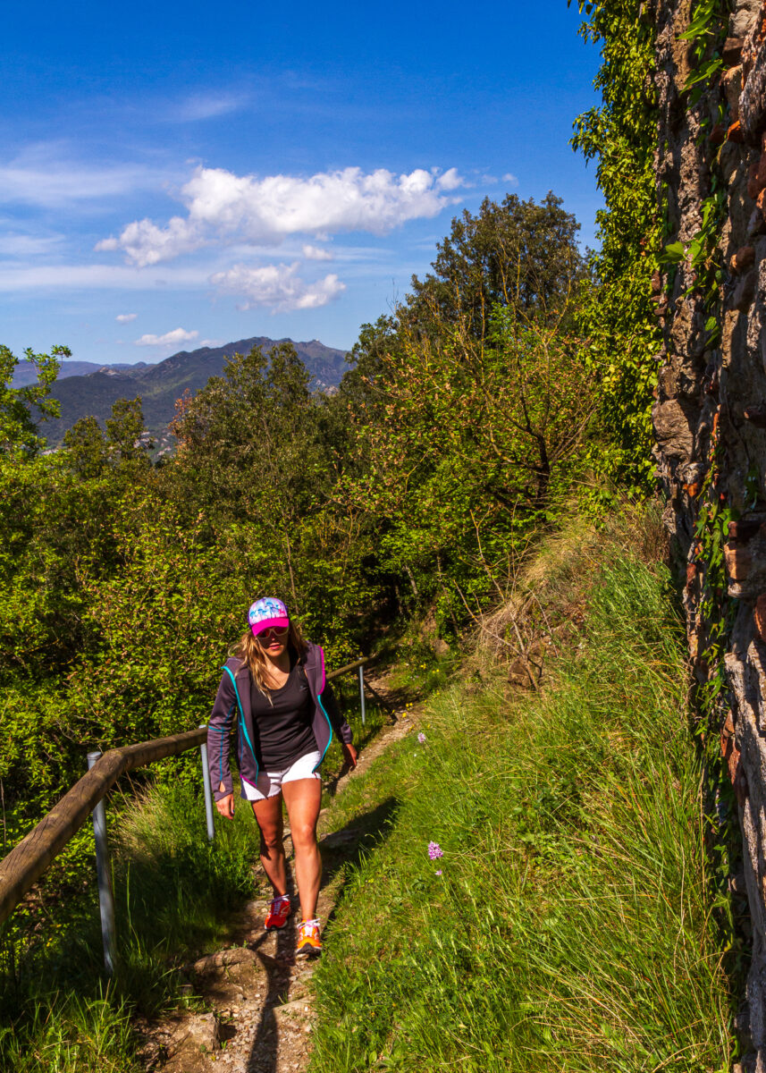
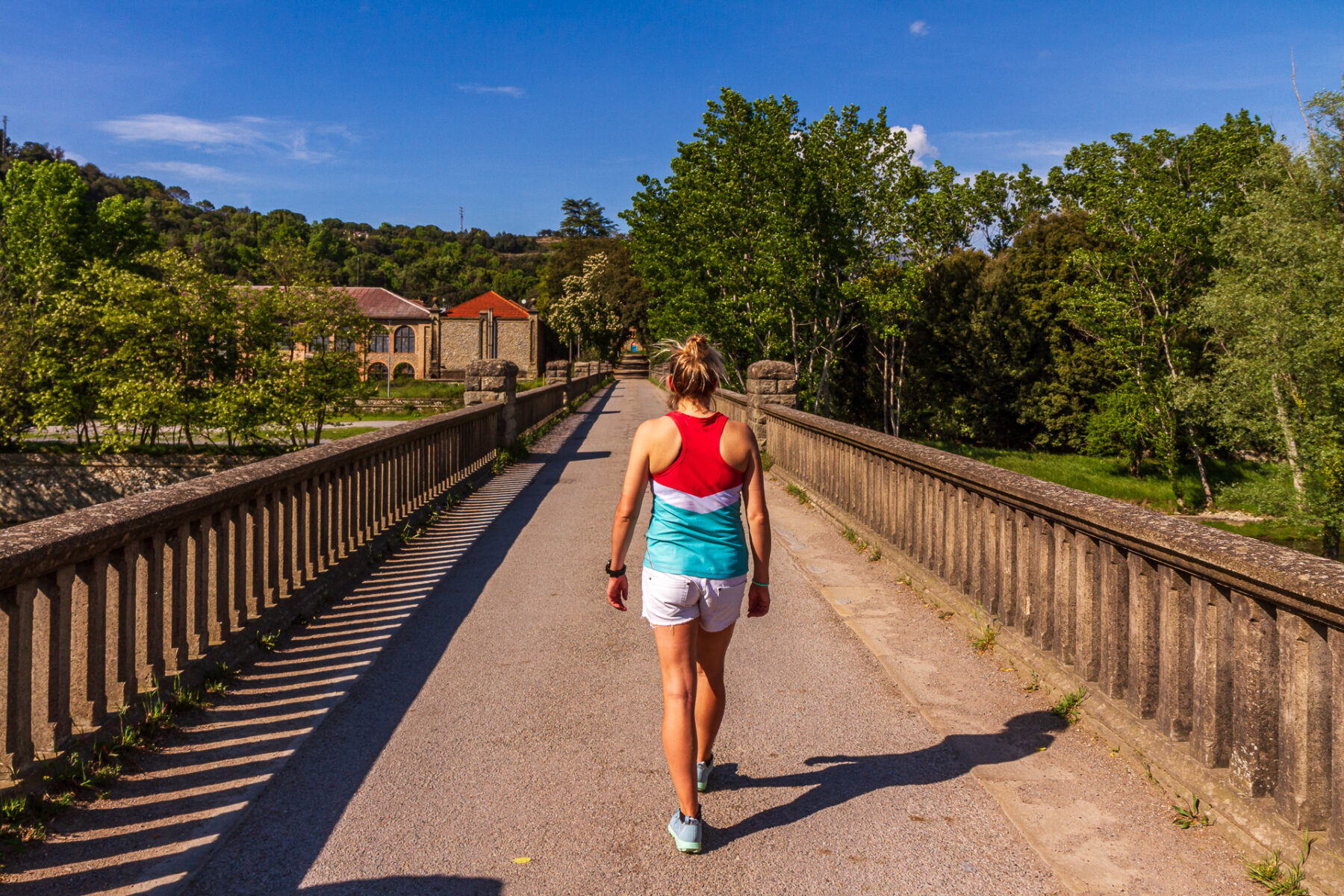
Long route trail of the Path of the Ter bank GR 210. Approved by the Federation of Hiking Organizations of Catalonia (FHOC) through the Catalan Committee of Trails in Barcelona June 15, 2002. With the River Ter as the vertebral axes of the territory this path brings us to the industrial and cultural heritage as well as to the wildlife and vegetation of riparian forest.
The signed stretch of GR includes the wholeTer in Osona region: from Farga de Bebié to Sau Dam. It is a safer stretch when compared to the initial stretch but not so flat as the final stretch in the province of Girona. The route visits the towns of Montesquieu, Torello, Manlleu and Roda de Ter and passes through other municipalities. There are natural areas of interest (river bends of Gelabert,
Gambires …), important historical resources, especially of the world ofindustrial estates (Borgonyà, Farga de Bebié, Vila-seca, Blava…).
Characters like Verdaguer, Martí and Pol, Sanglas among others, and museums such as the Museum of the Ter are other cultural reasons that link hiking interest to tourism and culture of this part of the Ter.
Itinerary:from the dam of Sau to la Farga de Bebié (Montesquiu)
Towns where it goes through: Les Masies de Roda, Roda de Ter, Manlleu, Les Masies de Voltregà, Torelló, Orís, Sant Vicenç de Torelló, Sant Quirze de Besora and Montesquiu.
Time: 17 h.
Distance: 61 Km.
Overall rise: 350 m.
You can do this path on walking for about 3 or 4 days, in an average rythm about4 Km /hour = 20 Km par journey
More information:http://www.rutadelter.cat/ruta-a-peu
tornar enrere