skip to Main Content

Routes of the Vall de Sau Collsacabra VTT Centre
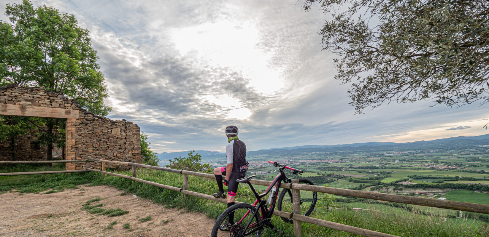
St Sebastià-0265

It has 17 routes with a total of more than 250 kilometers signposted. The types of routes that can be found in this center are: 6 green routes, 4 blue routes, 3 red routes, 4 black routes.

Reception point
Anigami (Masia Les Comes) – Ctra. Vic – Olot, km. 18’700 – 08511 L’Esquirol
Tel. 937 447 295
info@anigami.cat
www.anigami.cat


Brochure about Sau Collsacabra VTT Centre(download)

This is the simplest and the flattest route of all Collsacabra. With a special interest due to the viewpoint of the castle and its views on Sau Reservoir.

Starting point:Information point in Tavertet.
Difficulty:Easy
Itinerary in Km: 7,5 km
Itinerary in time: 45 min
Overall rise: + 50 m

Map: Download
Tracks: Download

Predominant circuit of a path that goes along the stream of Gorges. Of a short distance but of high technical level.

Starting point:Reception point in l’Esquirol.
Difficulty: Moderate
Itinerary in Km: 12,66 km
Itinerary in time: 1 h 30 min
Overall rise + 239 m

Map: Download
Tracks: Download

Ideal route for the beginners due to its distance in kilometers as well as for its not very demanding technical level.

Starting point:Information point in Tavertet.
Difficulty: Difficult
Itinerary in Km: 14,8 km
Itinerary in time: 1 h 30 min
Overall rise: + 250 m

Map: Download
Tracks: Download

Hard circuit because of slopes, the distance and the technical level. But very recommended due to its natural beauty.

Starting point:
Reception point in l’Esquirol.
Difficulty: Difficult
Itinerary in Km: 35,16 km
Itinerary in time: 4 h
Overall rise: + 1439 m

Map: Download
Tracks:
 Download

Short intensive circuit for those with a high technical level and who don’t have much time.

Starting point:
 Reception point in l’Esquirol.
Difficulty: Difficult
Itineary in Km: 25,02 km
Itinerary in time: 3 h
Overall rise: + 1032 m

Map: Download
Tracks:
 Download

Very short circuit but simply stunning because of the beautiful landscapes and a waterfall..

Starting point:
 Information point in Rupit.
Difficulty: Difficult
Itinerary in Km: 11,18 km
Itinerary in time: 1 h 15 min
Overall rise: + 343 m

Map: Download
Tracks: Download

Circuit of great beauty with funny trails and of average difficulty.

Starting point:
Sport area in Folgueroles.
Difficulty:Difficult
Itinerary in Km: 14,5 km
Itinerary in time: 1 h 15 m
Overall rise: + 300 m

Map: Download
Tracks: Download

Affordable route with a great view on The Plain of Vic from Sant Jordi de Puigseslloses.

Starting point:
Sport area in Folgueroles.
Difficulty: Moderate
Itinerary in Km: 15 km
Itinerary in time: 1 h 15 min
Overall rise: + 100 m

Map:Download
Tracks: Download

Flat circuit following the path of monoliths with poetry of Jacint Verdaguer.

Starting point:
Sport area in Folgueroles.
Difficulty:Easy
Itinerary in Km: 10,5 km
Itineary in time: 1 h
Overall rise: + 75 m

Map: Download
Tracks: Download

Is the easiest circuit, to walk through Folgueroles. Ideal for small children and to do it with the whole family.

Starting point: 
Sport area in Folgueroles.
Difficulty:Easy
Itinerary in Km: 6,8 km
Itinerary in time: 45 min
Overall rise: + 50 m

Map: Download
Tracks: Download

Circuit for true fans of mountain biking with trails and technical and steep descents.

Starting point:
Sport area in Folgueroles.
Difficulty: Difficult
Itinerary in Km: 36,17 km
Itinerary in time: 3 h 30 min
Overall rise: + 600 m

Map: Download
Tracks: Download

Short circuit and of low technical level. Ideal for beginners in the world of mountain biking.

Starting point:
 La Riba de Vilanova de Sau.
Difficultaty:Easy
Itinerary in Km: 4 km
Itinerary in time: 30 min
Overall rise: + 50 m

Map: Download
Tracks: Download

Basically all asphalted.

Starting point:
Information point inVilanova de Sau -Information point inRupit.
Difficulty: Difficult
Itinerary in km: 21,70 km
Itinerary in time: 2 h
Overall rise: + 300 m

Map: Download
Tracks: Download

Basically all asphalted.

Punt de sortida:
 Information point in Rupit -Information point inSau.
Dificultat: Difficult
Recorregut en Km: 21,70 km
Recorregut en temps: 1 h 30 min
Desnivell: + 300 m

Mapa: Download
Tracks: Download

Flat circuit with fantastic views on Sau reservoir and the cliffs of Tavertet and of Vilanova de Sau

Starting point:
Information point inVilanova de Sau.
Difficulty:Moderate
Itinerary in Km: 14 km
Itinerary in time: 1 h 15 min
Overall rise: + 100 m

Map: Download
Tracks: Download

Variant of Route 14 with less distance, flat and with many asphalted stretches.

Starting point:
 Information point in Vilanova de Sau.
Difficulty:Easy
Itinerary in Km: 10 km
Itinerary in time: 1 h
Overall rise: + 70 m

Map: Download
Tracks: Download

Route which makes use of GR with the departure and arrival at the same place, and allows us to go through a small wooded mountain range, very easy technically

Starting point:
 Information point in Sant Julià de Vilatorta.
Difficulty:Moderate
Itinerary in Km: 10,8 km
Itinerary in time: 1 h 30 min
Overall rise: + 192 m

Tracks: Download

Circuit around the reception point, short and not very difficult for the newcomers in the world of cycling.

Starting point:
 Reception point in l’Esquirol.
Difficulty:Easy
Itinerary in Km: 1,7 km
Itinerary in time: 30 min
Overall rise: + 28 m

Map: Download
Tracks: Download

tornar enrere

Back To Top